The heatwave blanketing B.C. continues for another day as people struggle to sleep in overnight lows that feel more like daytime highs.
CityNews Meteorologist Michael Kuss says the temperatures will soar into the 30s again on Tuesday.
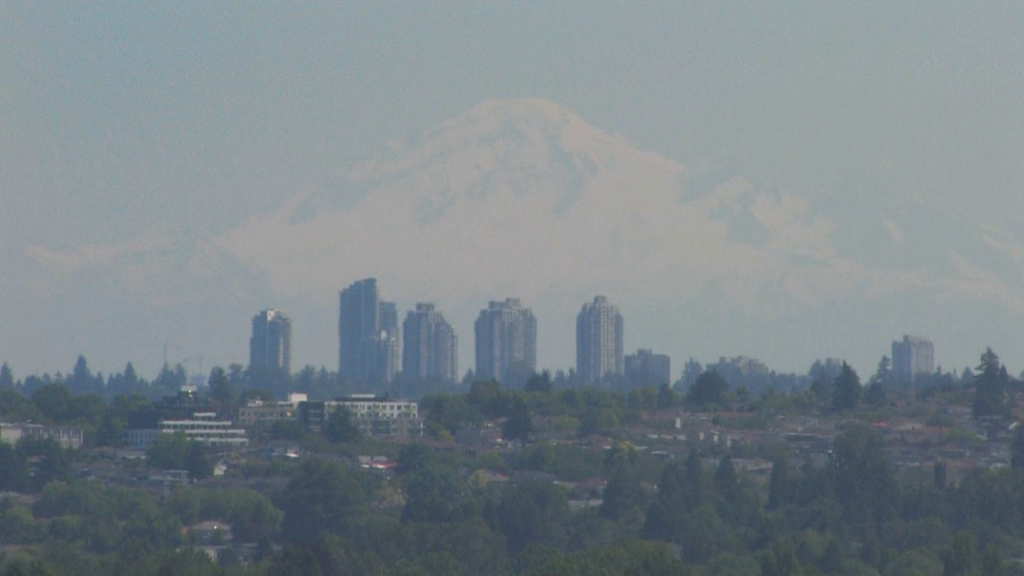
“It could be a degree or two warmer than yesterday. It’s not just the oppressive heat — humidity making it feel closer to 37 or 38 degrees and the air quality deteriorating, slipping into the moderate range due to the local pollutants getting trapped in the atmosphere,” he said.
He adds there were 28 new record highs set province-wide on Monday.
“But none for the Lower Mainland. Today, records will likely be set around the Lower Mainland with temperatures warmer than yesterday.”
Kuss explains the fire danger rating is also going up.
“The wildfire danger rating is now moderate, at best, for southeastern B.C. Most of the province is high to extreme, including the South Coast, now creeping up to high, whereas just six days ago it was low to very low.”
The upside is the region is about to get a break from the extreme heat as overnight lows on Tuesday night are expected to hover around 18 degrees.
“We get cooler overnights and cooler daytime highs after [Wednesday]. [Wednesday] is still up to 29 degrees, 27 degrees on Thursday away from the water, but 23 degrees shoreside and the overnight lows heading into the weekend dipping back to 14 or 15 degrees — that’ll feel really nice. The daytime highs will be no warmer than about 27 or 28 degrees on Friday and Saturday.”
Eric Lavigne is an epidemiologist at Health Canada and professor in the Faculty of Medicine at the University of Ottawa. He says heatstroke symptoms to watch out for include dizziness, extreme sweating, vomiting, headaches, or losing consciousness.
“When temperatures increase, we start seeing people being affected and that is something that can go as early as 20 degrees Celsius — it starts increasing above 25 or 30 degrees — then we start seeing more and more impacts.”
Lavigne explains pregnant people are at the highest risk because “their thermo-regulatory processes may be affected.”
“We’ve seen multiple studies showing that heat exposure or heatwaves can actually induce pre-term labour and therefore increase the chances of having a pre-term birth or having a baby with lower birth weight,” explained Lavigne.
“In addition, to the very young, the very old, people with chronic illnesses — respiratory, cardiovascular conditions — but we also know people who have kidney disease, or diabetic. Even people undergoing cancer treatments are at risk.”
Add to that list, people who work outside. Lavigne says they should take lots of breaks and consider shortening their workday.
He also warns of a phenomenon known as “heat islands,” which involve living or working in an area dense with a lot of high-rise buildings.
“It’s something that is seen in major cities, we’re thinking for instance Toronto or Vancouver. The heat stays trapped within buildings so the temperature doesn’t really cool because of the lack of wind circulation within those buildings. Adding in the fact that there may be a lot of concrete which absorbs a lot of the heat. Also, vehicle transportation that releases a lot of heat on its own. And often times, we can see temperatures that can be five or seven degrees different from a downtown location, compared to a nearby park where there could be lots of tree canopy and shade.”
He warns against exercising outside right now, suggesting you move your workout indoors and take lots of breaks.
Lavigne says hydration is key right now and recommends sticking with water, not booze or juice.
On Monday, Metro Vancouver issued an air quality advisory for Metro Vancouver and the Fraser Valley due to “elevated ground-level ozone that is expected to last for a few days.” The advisory is expected to stay in place until there’s a break in the heat.
Listen to CityNews 1130 for weather updates every 10 minutes after traffic on the ones. You can also follow Meteorologist Michael Kuss on X and subscribe to breaking news alerts sent directly to your inbox.
–With files from Xiao Li